
How to convert Shapefile, GeoJSON, KML, GPX and more in your browser (ogr2ogr online, no upload)
Published:
🌍
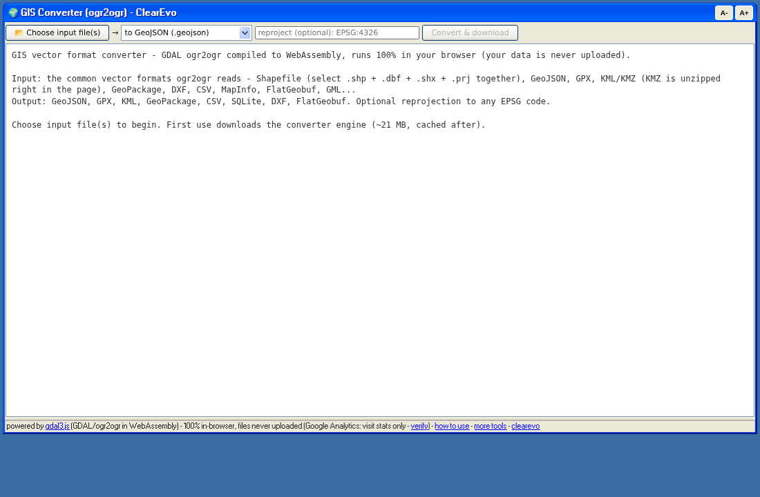
Need to convert a Shapefile to GeoJSON, KML to GPX, or between almost any GIS formats - online, free, and without handing your data to a server? GIS data is often confidential - survey plots, land boundaries, client sites - which makes “upload your file to convert it” services a bad idea. This converter is GDAL’s ogr2ogr compiled to WebAssembly: the conversion runs 100% inside your browser and your files are never uploaded.
Steps
- Open https://www.clearevo.com/geo/ (first use downloads the ~21 MB engine, cached after).
- Choose input file(s) - the common vector formats ogr2ogr reads: GeoJSON, GPX, KML/KMZ (KMZ is unzipped in the page first), GeoPackage, DXF, CSV, MapInfo, FlatGeobuf, GML… For a Shapefile, select the
.shp,.dbf,.shxand.prjtogether (the tool warns you if a sibling is missing). - Pick the output format: GeoJSON, GPX, KML, GeoPackage, CSV, SQLite/Spatialite, DXF or FlatGeobuf.
- Optional: type a target CRS (e.g.
EPSG:4326) to reproject; leave empty to keep the source CRS. - Convert & download - the converted file downloads straight from your browser’s memory.
Honest limits: inputs are capped at 300 MB (WebAssembly memory); multi-file outputs like Shapefile aren’t offered yet (single-file formats only). Errors from GDAL are shown in the log rather than crashing the tab - GPX output in particular requires GPX-compatible layers, so if it complains, convert to GeoJSON first and inspect.
Everything is client-side (Google Analytics for visit stats only - verify).
This tool is free software and open source: ykasidit/clearevo_online_tools - issues and pull requests welcome.
Full disclosure: this post - and any code or tool it describes - was co-authored with Claude (Anthropic’s AI, via Claude Code). I directed, guided and reviewed. I don’t want to pretend otherwise.